Walk no: 26
Length: 10 miles
A 10 mile linear walk from Halnaker crossroads to Chichester rail station in West Sussex, forming the 26th and final stretch of the Sussex Hospices Trail. This stretch of the trail is packed with interest, leading you through Halnaker Park (with a very long magnificent stretch of flint wall and mansion ruins), past Goodwood Racecourse, over St Roche’s Hill, along the Centurion Way and finally visiting Chichester Cathedral. From the summit of St Roche’s Hill you will be rewarded with some of the best views of the whole trail, a panoramic vista taking in Chichester Harbour, Chichester Cathedral and a long stretch of the coast to the south, as well as the South Downs to the north.
Difficulty
The walk includes several climbs and descents throughout, including one fairly steep climb onto St Roche’s Hill. The tracks are generally well made, but can be rutted, uneven and muddy in parts so good boots are a must. The vast majority of the route is livestock-free, but you will cross two fields that are likely to be holding sheep and there were also the tell-tale signs of cattle having been present in a couple of fields, so take particular care with dogs. You will need to negotiate several kissing gates and bridle gates, but there are no stiles on route. There are a couple of road crossings that need care, but there is no road walking and well-behaved dogs will enjoy plenty of time off-lead. As the route passes Goodwood Racecourse, you might want to avoid race days (and the traffic and crowds that come with that). Allow 5 hours.
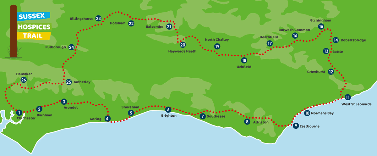
Map
Accessing the Trail
There are several ways to follow the Trail!
On paper
You can download and print the PDF leaflet for your walk at the top of this page. These include turn-by-turn directions, photos and a simplified map. For extra safety, we recommend that you carry an Ordnance Survey map of the area too.
On an app
The walks can be found on the free AllTrails App. They are already downloaded and the directions are in the section called Waypoints.
This version of AllTrails will work as long as there is an internet (3G/4G) signal.
Note: within the AllTrails App you have the option to pay a subscription to upgrade to AllTrails Pro. This gives you the ability to follow the guides without using any internet data in areas where there is no 3G/4G coverage.
On a GPS device
If you have a Garmin or another GPS-based App e.g. the Ordnance Survey App, you can download the GPX File for your chosen walk from our website to use on these devices. (Please note that the GPX Files are for personal use only and must not be published on any other platform)